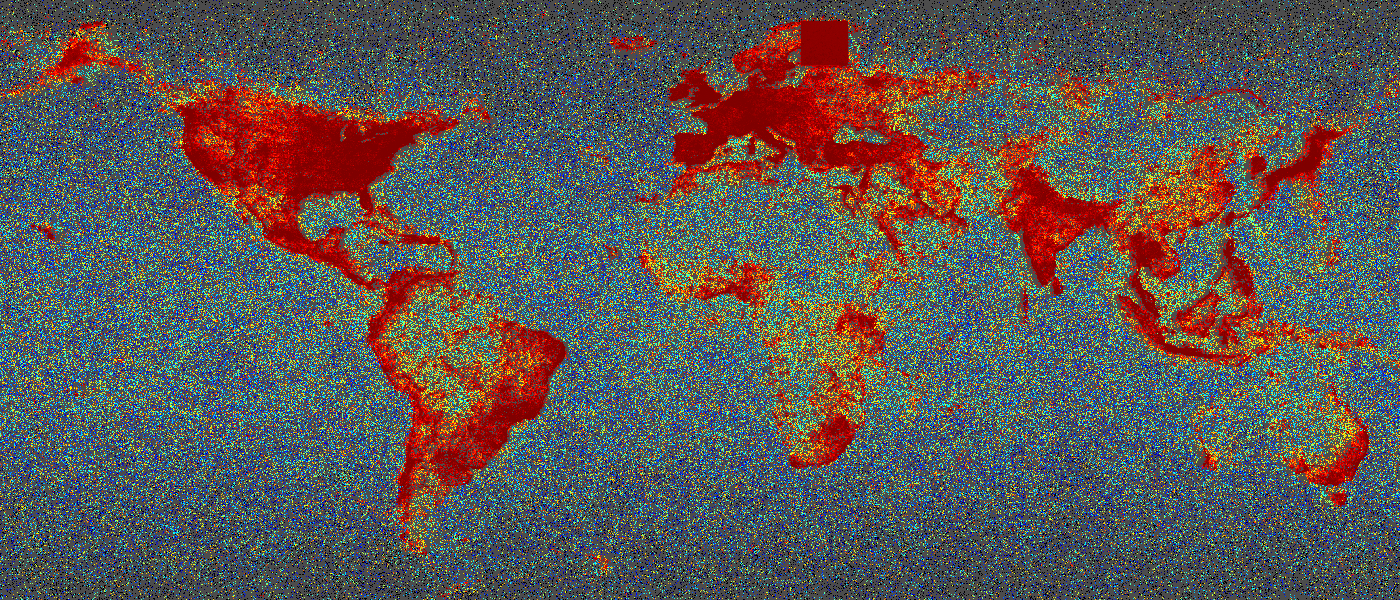
- Dichte von Twitter-Nachrichten von etwa 200 Millionen Nachrichten gefärbt nach Radius der Umgebung der nächsten Nachbarn.2019, M. Werner

Software von der Professur für Big Geospatial Data Management
Softwareprojekte, Pakete und Downloads
Die Professur für Big Geospatial Data Management bietet verschiedene Software-Produkte und Pakete zum Download und zur Nutzung an. Im Folgenden beschreiben wir ein paar Pakete und Tools, die uns besonders wichtig sind, bevor wir eine vollständige Übersicht der erhältlichen Software angeben.
GloBiMaps
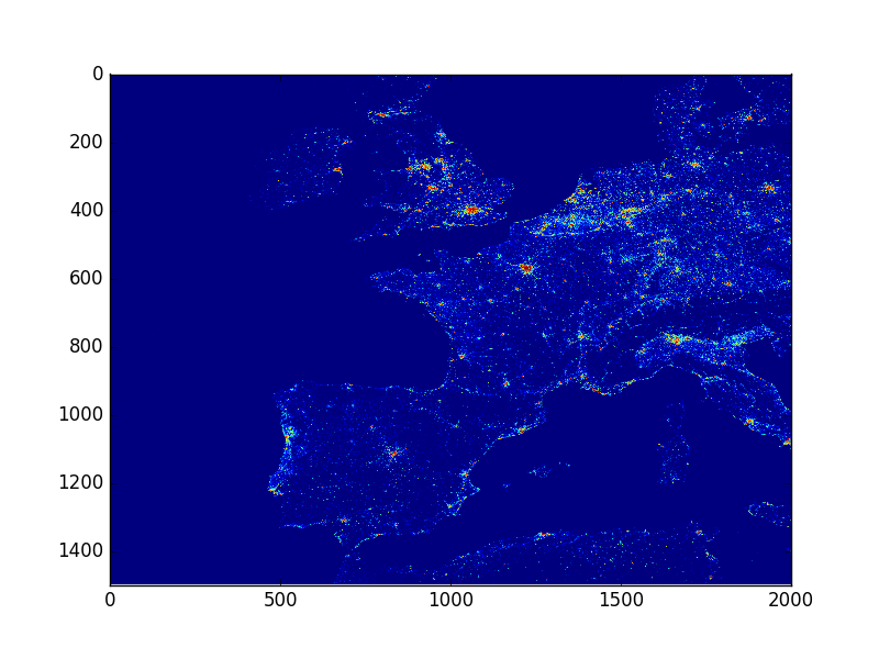
- European Buildings represented in 64 MB of RAM(c) 2019 M. Werner

GloBiMaps ist eine randomisierte Datenstruktur, die es ermöglicht, dünn besetzte Geodaten mit niedriger Werte-Kardinalität extrem zu komprimieren, sodass man vernünftige Darstellungen schon per E-Mail verschicken kann. GloBiMaps wurde auf der ACM SIGSPATIAL 2019 veröffentlicht und steht auf GitHub zum Download bereit. Besonderheiten der Datenstruktur sind neben ihrer Effizienz ein Modus, auch ein fehlerfreier Modus, Zugriff in zufälliger Reihenfolge (Random Access) und in gewählter Auflösung (Multi-Resolution). Neben der Implementierung von GloBiMaps als Python-Paket ist auch eine effiziente Bloom-Filter-Implementierung mit unterschiedlichen Hash-Funktionen enthalten.
GloBiMaps eignen sich besonders im Stream-Computing, wo Geodaten in einer zeitlichen Ordnung und damit räumlich in einer eher zufälligen und großflächigen Verteilung auftauchen. Wir verwenden GloBiMaps, um Social Media Daten des Netzwerks Twitter in Echtzeit mit geographischen Labeln zu versehen.
| LEITUNG: | Martin Werner |
| Team: | Martin Werner |
| Sprache: | C++ Source, Python Package |
| Repository: | https://github.com/mwernerds/globimap |
| Veröffentlichung: | Werner, M. (2019). GloBiMaps - A Probabilistic Data Structure for In-Memory Processing of Global Raster Datasets. 27th ACM SIGSPATIAL International Conference on Advances in Geographic Information Systems (SIGSPATIAL ’19). |
libTrajcomp
Trajectory computing is a subarea of spatial computing in which the spatial objects are continuous movements in space. In this context, trajectories are stored as sequences of timestamped spatial points and thus share some conecpts with time series. However, trajectories are much richer than time series as they allow for interpolation. In common trajectory models, a linear interpolation between two consecutive timestamped points is defined to be the location of the mobile object during the timespan between both points. We have been doing research in this area for a long time and some of the algorithms of this area are both complicated and very sensitive to low-performance platforms such as Java, Python, or MATLAB. Therefore, we collected quite some algorithms from the field of trajectory computing with clean, generic C++11 implementations agnostic of the data type. In addition, some of these algorithms are provided in form of Python packages, R packages, or example programs in C++.
Currently, we are working on a first major release libTrajcomp 1.0 which shall not only include a significant number of trajectory computing algorithms in efficient implementations, but as well be published both as an R package and a Python package that users can install directly from the relevant repositories to foster the use of these algorithms that are currently just not available in sufficient performance and quality.
Kontakt
Big Geospatial Data Management
Lise-Meitner-Str. 9
85521 Ottobrunn
martin.werner@tum.de
Anfahrt